What is STYLY World Canvas?
STYLY World Canvas is a feature that automatically loads 3D map data from around the world when you place the City Anchor asset in STYLY Studio, allowing you to build precise location-based XR spaces. Based on real map data, you can place assets aligned with buildings and roads, enabling seamless integration with real cities. It supports global projects and tourism-related experiences, as well as urban XR expressions that reflect local culture and characteristics.
How to use STYLY World Canvas
When creating a new scene in STYLY Studio, select the AR template.
From the Function section in the asset selector, place “AR on City” and “City Anchor” into the scene. For how to use City Anchor, please refer to the article below.

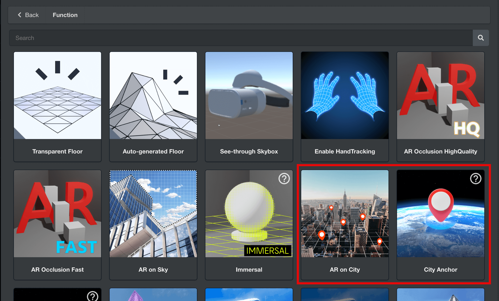
To use the World Canvas feature, you need to place both “AR on City” and “City Anchor” assets in the scene
Once these two assets are placed in STYLY Studio, 3D map data will be loaded automatically. You can hide the 3D map data by unchecking “Show 3D Map Tiles” in the Map Mesh display at the top right.
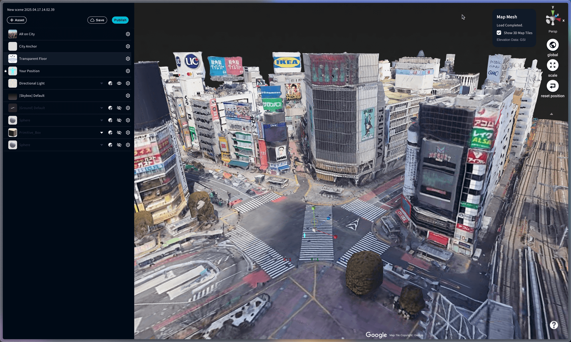
3D map data is automatically loaded
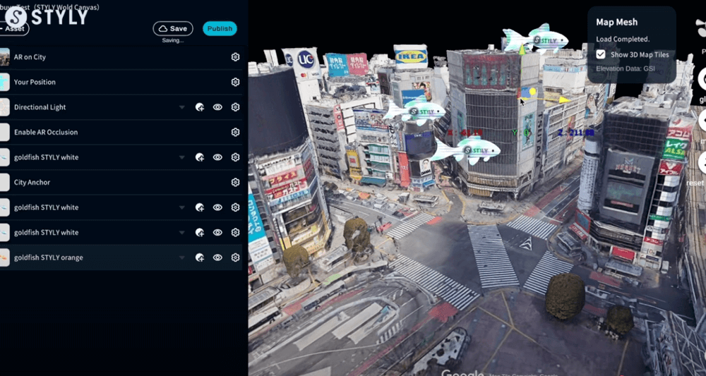
Place assets according to the location.
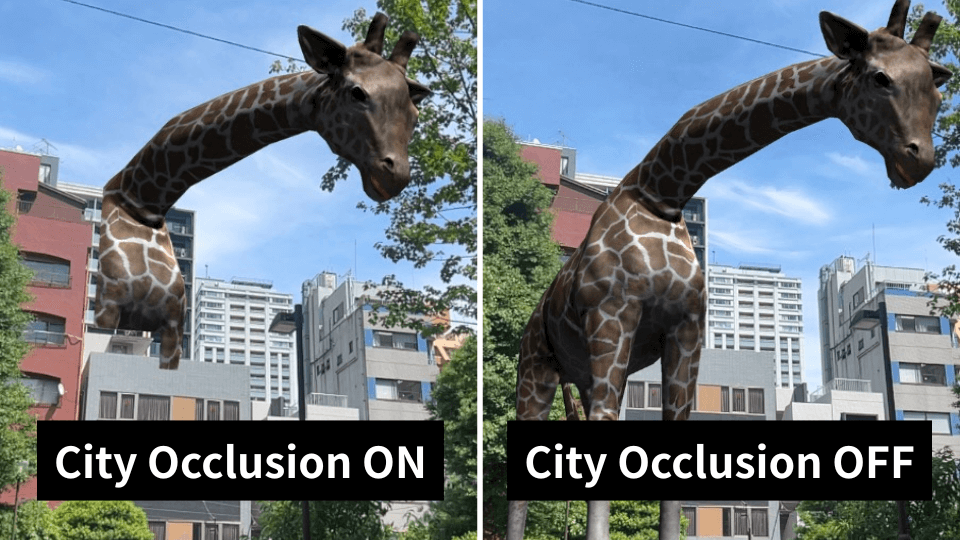
Apply occlusion to buildings
You can apply occlusion to buildings by combining it with the City Occlusion asset. 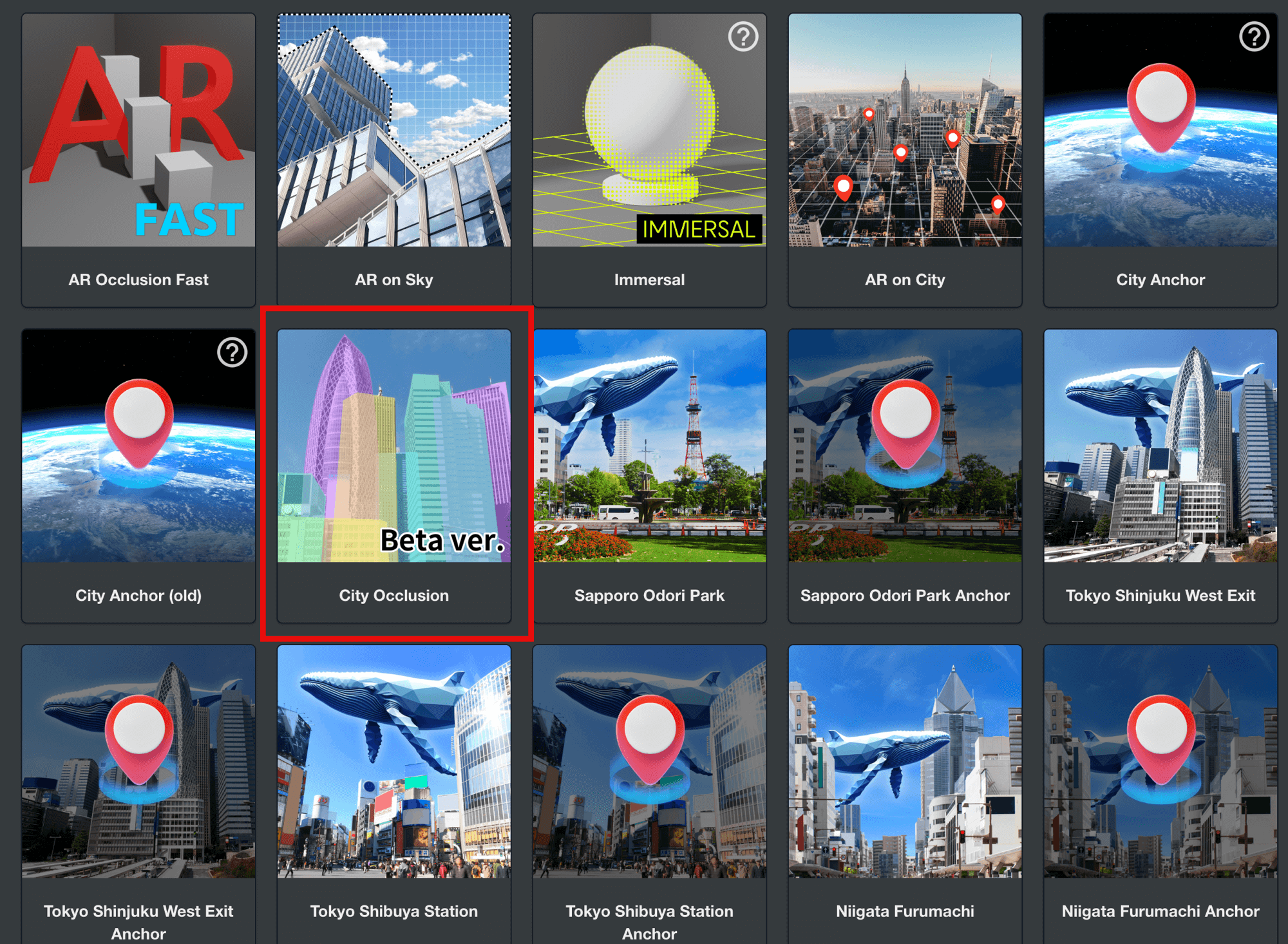
Notes
Cannot be used with city templates
City templates that can be selected when creating a new scene already contain 3D model data of the city, so they cannot be used together with STYLY World Canvas.
Locations where use is difficult
- Highly dynamic areas: In places like construction sites or temporary event venues where terrain and structures change frequently, discrepancies between map data and actual conditions may make accurate display difficult.
- Locations far from roads: Since positioning is estimated based on road data, accuracy tends to decrease in areas that are far from road networks.
- Areas with many trees or outdoor natural environments: In places where trees block the view, GPS and sensor accuracy may drop, making it difficult to determine the correct position.
- Multi-layered structures: In areas such as underpasses, underground spaces, or around buildings with multiple floors, the user’s floor level may not be correctly recognized, and content may be displayed at the wrong position.